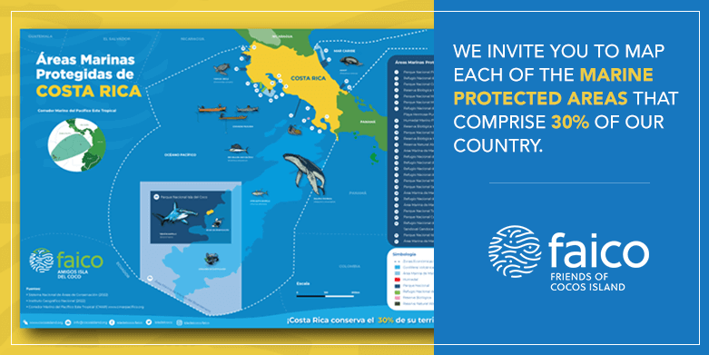
“Map of the Marine Protected Areas of Costa Rica: a tool that recognizes the importance of these sites for biodiversity and the well-being of people.”
- The objective is to raise awareness among the population and the political authorities so that through strategic partnerships, this 30% of the marine protected territory comes to represent safe areas for biodiversity and for the well-being of people.
- Costa Rica has 92% of its territory covered by sea, so this map aims to represent the marine treasures that make us a giant country.
Friends of Cocos Island (FAICO) launched an informative map of the marine protected areas of Costa Rica. This environmental education tool visualizes 27 marine protected areas, which represents a little more than 30% of the Costa Rican marine territory.
Since the establishment of the first protected area in Costa Rica in 1963, our country has been characterized by being at the forefront in the conservation of natural resources by creating marine protected areas in highly sensitive zones, closing conservation gaps, and providing tools for their comprehensive management.
The most recent of all these protected areas is the Bicentennial Marine Management Area, created from the expansion of Cocos Island National Park and the Seamounts Marine Management Area. Before this historic event that occurred in December 2021, the country only had approximately 3% of its maritime territory under the designation of marine protected area.
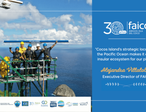
“This map represents a very important achievement for the country within the framework of its marine conservation objectives. Although the new marine protected areas that surround Cocos Island contribute a little more than 27% to marine conservation, this would not have been possible without the fight and hard work that led to reaching the other 3%. Therefore, this is also a recognition to all the organizations, institutions, and park rangers that contribute to the effectiveness of the management of the 27 marine protected areas for the health of ecosystems, biodiversity, and people.” said Alejandra Villalobos, Executive Director, Friends of Cocos Island Foundation
The administration of marine protected areas is a daily challenge for all organizations that contribute to the State for their safeguarding. There are still important gaps to ensure the effective management of our ecosystems and marine biodiversity. The Friends of Cocos Island Foundation sees this map as a new tool to continue raising awareness among the general population, but also among the political authorities who today have the duty and responsibility that this 30% of the Costa Rican maritime territory represents safe areas for biodiversity and for the well-being of the people.
WHAT IS A MARINE PROTECTED AREA (MPA)?
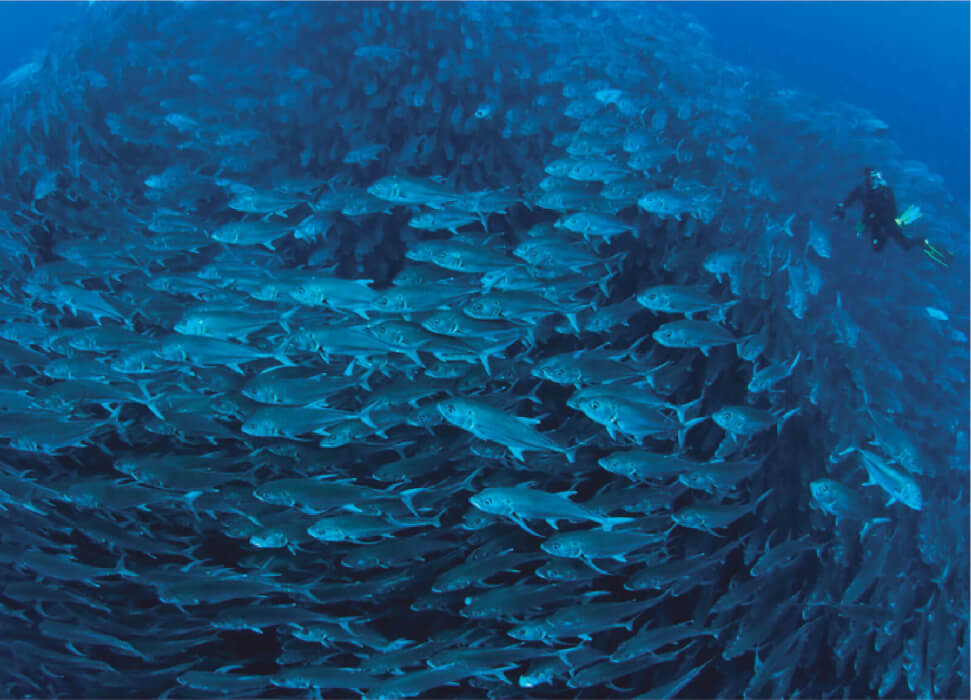
These are marine spaces designated with the aim of conserving ecosystems and marine biodiversity, as well as for promoting the sustainable use of the resources they house. MPAs are important for conserving marine biodiversity in all their life cycles, including those of migratory species.
These sites are key to many communities whose livelihood is linked to marine resources.
These areas are normally found near the coast or in oceanic contexts of our Exclusive Economic Zone and are under the administration of the National System of Conservation Areas (SINAC).
WHAT KIND OF MARINE PROTECTED AREAS ARE THERE IN OUR COUNTRY?
The Law on Biodiversity (No. 7778) establishes a classification of marine protected areas in our country according to the objectives for which they were established. This means that depending on the conservation objectives that a marine protected area has, thus will be its management category.
On the map, you can see the following:
- Absolute Natural Reserve
- National Park
- National Wildlife Refuge
- Biological Reserve
- Wetland
- Marine Management Area
Each of these areas has a specific management regulation. In some of them, certain types of fishing and tourism are allowed, as long as they do not affect the conservation objectives for which they were created, as is the case in Marine Management Areas. In others, management strategies are aimed at maintaining ecosystems and habitats with the least possible intervention, with uses derived solely from scientific research and sustainable tourism, as happens in our Cocos Island National Park.
So, if you want to visit one of these marine areas, you can guide yourself with our map and look for one that is of interest to you. Check before on the SINAC website about the management category; the type of visit you can make will depend on this.
WHAT OTHER ELEMENTS CAN I SEE ON THE MAP?
Marine protected areas are places where several stakeholders come together who benefit from the ecosystem services they provide. On the map, you can visualize marine species that use these sites to live, feed, and reproduce, as well as how communities use these spaces.
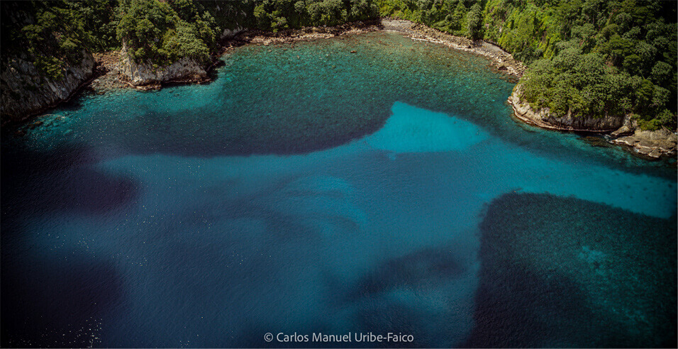
Likewise, it is possible to find ecosystems that are key for the survival of marine species, such as coral reefs and the Submarine Cocos Range, which goes down to the Galapagos Islands of Ecuador.
HOW CAN I GET THE MAP?
If you work in an educational center or in a community organization that loves marine conservation, you can write to our social networks or to info@cocosisland.org to get copies.
We invite you to download the digital version from our website www.cocosisland.org.
